
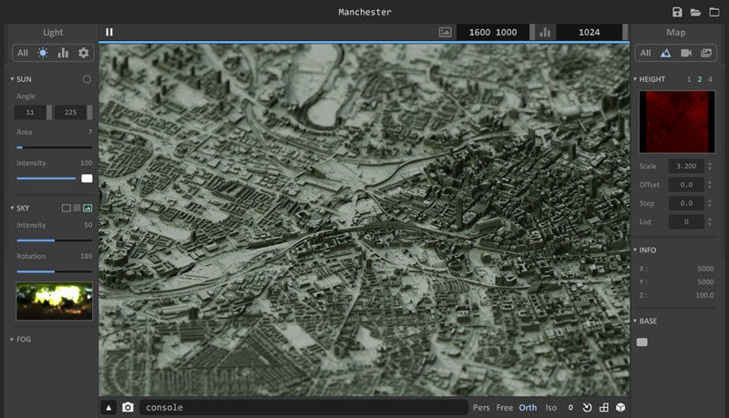
Ephtracy has released a free tool for visualizing heightmaps. Aerialod is an interactive path tracer enabling you to import and render heightmaps. You can find more information and download it from the product’s website.
Ephtracy has released a free tool for visualizing heightmaps. Aerialod is an interactive path tracer enabling you to import and render heightmaps. You can find more information and download it from the product’s website.