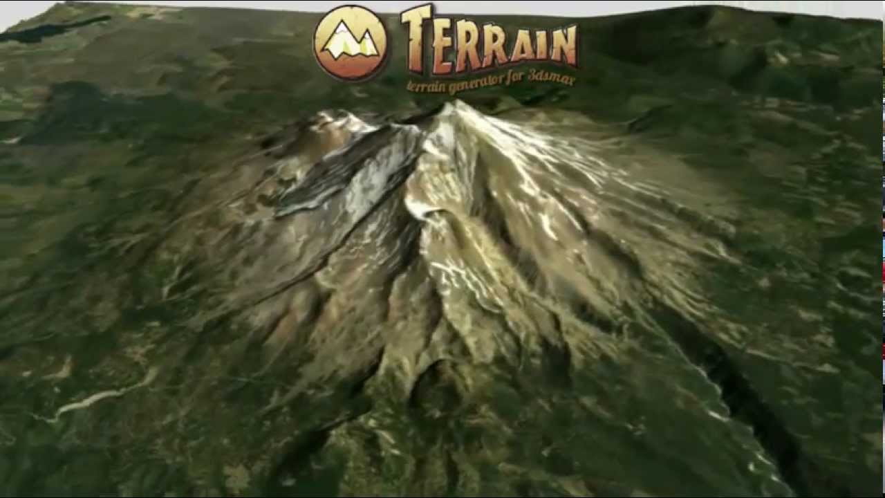

MegaFiers has announced an update to its Terrain Plugin for 3ds Max. This tool empowers users to generate landscapes from real-world elevation data by seamlessly streaming it from online DEM repositories. Utilizing freely available sources, the plugin streamlines the process, eliminating the complexities of locating and integrating numerous tiles needed to reconstruct a specific region.
The plugin further enhances map visualization by providing options to colorize maps based on their height, using a customizable color ramp. Alternatively, utilizing satellite maps from services like Google Earth is also possible.
This release features an updated data source. Previously relying on the USGS website, the Terrain plugin now utilizes a new data source. This new source offers the benefit of enabling users to download high-resolution maps from a wider range of locations, as higher levels of detail were previously limited to locations within the US.
The Terrain plugin is compatible with 3ds Max 2015 and subsequent versions. A perpetual license is available for $199.
See Also:
- Quick Tiles Map Plugin For 3ds Max Released
- U-Render 2021.1.3 Released